From scattered data to donor-ready products — fast.
We help humanitarian agencies and NGOs turn fragmented operational data into decision-ready, donor-ready products. Dashboards, maps, integrations, and proposals — built under real constraints, with real data.
"The data exists. The usability doesn't."
The Reality
Why this matters.- 01 // Fragmented Data
Your data lives in Kobo, Excel, ActivityInfo, and a dozen internal trackers. No single source of truth, no shared standards, no alignment with admin boundaries.
- 02 // Reporting Pressure
Every reporting cycle is a scramble. HQ and donors demand fast, credible evidence — but your systems weren't built to produce it without overwhelming field staff.
- 03 // Capacity Gaps
Your IM team is stuck in firefighting mode — cleaning data, fixing dashboards, answering ad-hoc requests — instead of doing the strategic analysis that actually informs decisions.
What you gain with New Aid
Where you work, what you deliver, who you reach — visible in one place, not scattered across twelve spreadsheets.
Automated reporting support with exportable visuals ready for SitReps, donor reports, and annual reviews.
Understand coverage, gaps, and accessibility to allocate resources where they actually matter.
A single source of truth aligned with admin boundaries, cluster standards, and HPC frameworks.
Products you can deploy
Concrete deliverables, not slide decks with recommendations. Everything we build is designed to be used, not filed.
Interactive reach, indicators, and output tracking. Filterable by location, sector, and time. Built for Country Directors, MEAL, and Donor Relations.
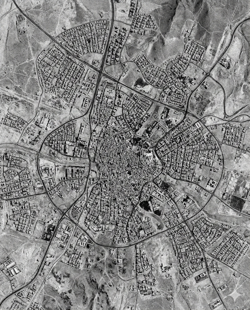
Presence, coverage, and gap analysis on real geography. Needs vs response storytelling for coordination and advocacy.
Single source of truth from Kobo, Excel, ActivityInfo. Data cleaning, geocoding, admin boundary matching, and automated refresh.
Targeting, accessibility, logistics optimization, and risk mapping. Where GIS moves from nice visuals to real performance gains.
We design your IM/GIS component, write the technical section, define deliverables, and build a realistic budget line.
Every response is different. Tell us what you need.
What it looks like
A preview of the outputs we deliver — built from real humanitarian data workflows.
- → Automated reporting cycle support
- → Exportable visuals for SitReps and donor updates
- → Clear filters by location, sector, and time
- → Snapshots of coverage and gaps at a glance
- → Needs vs response storytelling with real geography
- → Admin boundary alignment for cluster reporting
Low friction, high output
We designed our engagement model for how humanitarian teams actually operate: short timelines, imperfect data, and shifting priorities.
A donor dashboard, a coverage mapping pack, or a data cleaning sprint. Deliverable is ready to use immediately.
Continuous dashboard maintenance, periodic mapping for reports and coordination, rapid response products during crises.
Targeting, prioritization, accessibility analysis. Includes workshop with your program team to validate assumptions.
We design the IM/GIS component upfront and ensure it's budgeted correctly before submission.
Why us — even if you have an IM team
Internal IM teams are usually overloaded and forced into reactive mode. We take on the heavy lift so they can focus on strategy.
- 01 // Humanitarian Logic
We don't just build maps. We build products that reflect sector logic, coordination constraints, donor expectations, and what program teams actually need to decide.
- 02 // Usable Systems
Our outputs survive real operations: minimal maintenance, clear documentation, templates that scale, and automation where it matters.
- 03 // Data-Realistic
Humanitarian data is messy. Our delivery model assumes missing geocodes, inconsistent admin names, partial reporting, and security constraints. We start with what you have.
- 04 // Bilingual
We translate operational reality into proposal language. Program priorities into technical requirements. Data into narrative that donors accept.
"We are mostly field workers. Sometimes developers. Always humanitarians. We built New Aid because we were tired of guessing."
What you walk away with
- → Live dashboard or web map with documentation
- → Cleaned dataset and governance notes
- → Admin boundary alignment and geocoding logic
- → Reusable template so you can replicate across projects
- → Optional training session for your team